
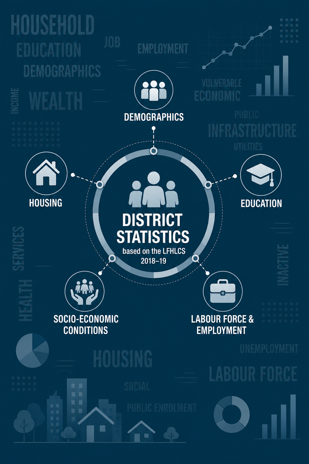
About this publication
The Central Administration of Statistics (CAS) presents district-based statistical reports, prepared in collaboration with UNDP, covering the 26 Lebanese administrative districts. These reports are based on the findings of the Labour Force and Household Living Conditions Survey (LFHLCS), carried out by CAS between 2018 and 2019, and provide a description of the socio-economic context in each district. The district profiles are accessible through the interactive map below. Users can select a governorate or district to view the available statistical profile.
أطلقت إدارة الإحصاء المركزي بالشراكة مع برنامج الأمم المتحدة الإنمائي 26 تقريرًا إحصائيًا باللغتين العربية والانكليزية تغطي الأقضية اللبنانية. تستند هذه التقارير إلى نتائج مسح القوى العاملة والاحوال المعيشية للأسر التي قامت به إدارة الاحصاء المركزي بين عامي 2018 و2019، وتوفر بيانات إحصائية لفهم السياق الاجتماعي والاقتصادي لهذه الأقضية. يمكن الاطلاع على ملفات الأقضية من خلال الخريطة التفاعلية أدناه، حيث يمكن للمستخدم اختيار المحافظة أو القضاء لعرض الملف الإحصائي المتاح